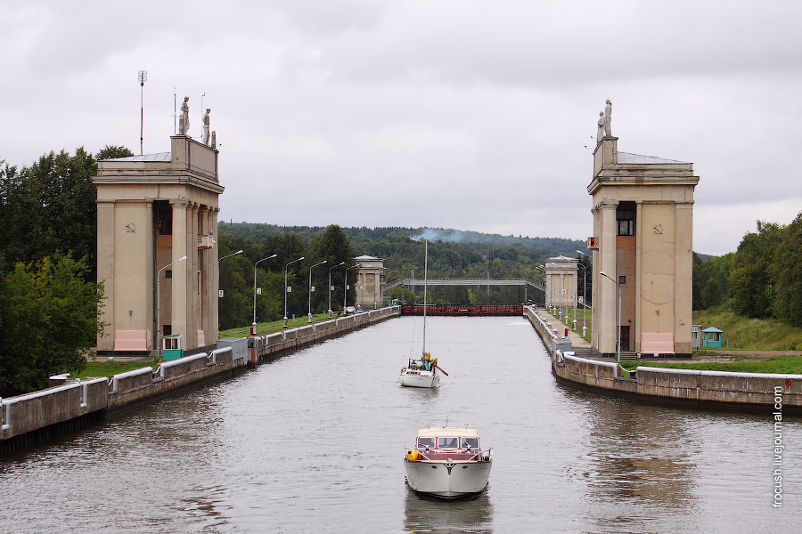
FGBU «The Moscow Channel» plans to introduce digital mapping by 2019.
Information on changes in the bottom relief and depths will now be collected using a multibeam echo sounder and a unique domestic development - radar geoscanning, which allows researching depths from the air.
Shipowners will receive new information in their personal office through the online service. It will also be possible to conclude contracts and make payments there.
«In this part we are significantly behind the world practice, - said the head of "The Moscow channel" German Yelyanyushkin. - Today, all our cards are paper-based. They are updated three times a year. And in manual mode: navigators receive text printed notices and make corresponding corrections on paper by themselves. In the next two years we are going to assimilate digital methods of collection and processing of information and provide users with electronic services in real time.».
In addition, the agency intends to replace conventional buoys with electronic ones, which will save time on installation and cleaning, as well as reduce maintenance costs.


